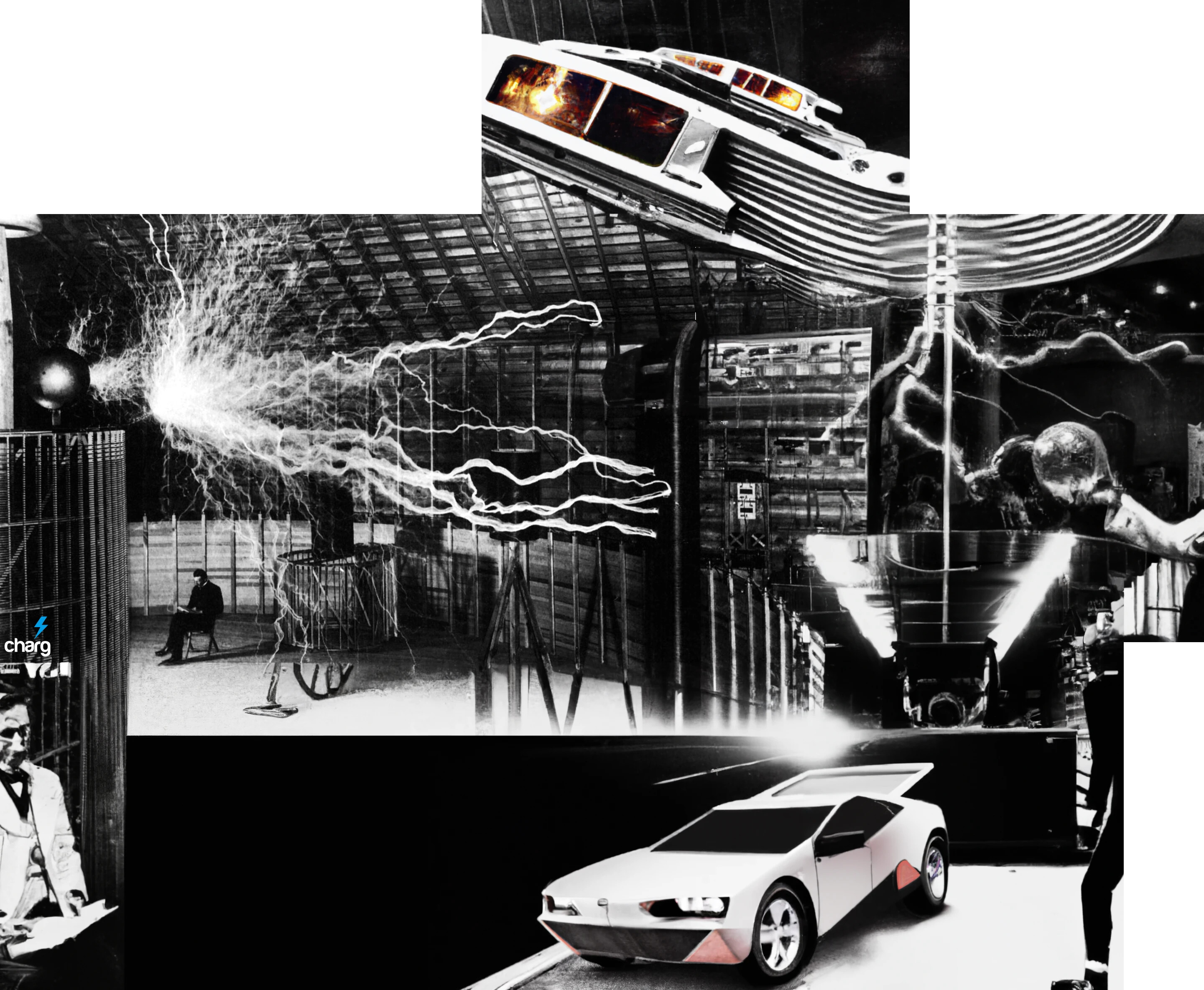
The Colorado Canal - A Love Story

What is the wealth of a nation? Its people, surely, but for each individual to refine requires oil, coal, minerals, water, food, timber, access, a significant means to transport, secure passage therein. And as we like to say around here, “organized energy is money.” The equation of inputs and outputs is vast… infinite. A complex cacophony; a smorgasbord of public-private relationship utterly mammoth in scale and timeline.

We do have a blueprint of the future if we can study past expansionism. The giants of the past appeared as heroes to some, villains to most others. Does history not repeat? Who is John Galt, anyways?

The ‘Panama Canal’ of the continental USA was not built first; prior was the rail, intercoastal waterway, roadway, highway, and even airways. Technological capability, financing and access aside, it would have been easier before the west was won, before too many Americans would find themselves alienated by force of these growing pains. If you don’t fully understand the tectonic political pressures around little Panama, you are not alone in failing to fully comprehend the enormity of little Panama pressuring also even treacherous Colorado passes or tranquil sovereign countries alike for relief. Lynch pins.

How does one define a monolith in seeing only the toe? Big data analysis comes to mind, sort of what I’m trying to do here. A finger pointing at the moon. Aside, this does not even scratch the surface of the dynamics required behind the scenes for a new dawn of such a 100-year plan to manifest aided and abetted by 1,000 points of light. The myth of the self-made man comes to mind.

No, the scope of this project is simply a focus on the coming America Canal and the causality with slash and burn developments seemingly unfolding before our eyes as pointed to me by my personal story of displacement not unlike the Yangtze.

I hope you might enjoy this diorama yourself, it’s free to download the .zip yourself, below, and these files can be loaded into Google Earth.

MUCH MORE - https://lovelettermedia.org


https://upload.wikimedia.org/wikipedia/commons/f/f3/Usa_edcp_relief_location_map.png

Latest Map 8.22.24 -


google earth 3.zip (348.8 KB)
House Draw Fire Scenario.kmz (911 Bytes)
House Draw Fire.kmz (739 Bytes

SUPPLEMENTAL:

https://josefkulovany.com/extracurricular
https://www.washingtonpost.com/graphics/national/maps-of-american-infrastrucure/

https://parkco.us/904/Wild-Horse-Reservoir-Project

https://www.fs.usda.gov/Internet/FSE_DOCUMENTS/stelprdb5416042.pdf
https://waterandpower.org/museum/Colorado%20River%20Aqueduct.html

COMING SOON: S. America, an exploration into the jungles of Ecuador and Peru

MAP FILES:

google earth.zip (1.3 MB)

google earth 2.zip (321.4 KB)

Yellowstone.kmz (973 Bytes)
Windsor2.kmz (1.1 KB)
Windsor1.kmz (1000 Bytes)


WildHorse Reservoir.kmz (1.1 KB)
Westcreek.kmz (4.5 KB)

Warren AFB South.kmz (1.4 KB)
Warren AFB North.kmz (1.4 KB)
Upper Homestake Pipe.kmz (645 Bytes)
Untitled Path.kmz (5.8 KB)
Twin Lakes Pipe.kmz (639 Bytes)
Spiney Pipe.kmz (636 Bytes)
Southfork Diversion Pipes (approx.).kmz (756 Bytes)

Snake River.kmz (2.0 KB)
Red Cabin2.kmz (3.6 KB)
Red Cabin.kmz (745 Bytes)
Rampart Res…kmz (948 Bytes)
Pueblo Lake Pipe.kmz (644 Bytes)
Provo.kmz (1.6 KB)
Possible River Expansion CS.kmz (1.3 KB)
Otero Pipe.kmz (639 Bytes)
Omaha.kmz (1.9 KB)
Northfork Diversion (Approx.).kmz (709 Bytes)
Northfield Pipe.kmz (642 Bytes)
Lower Homestake Pipe.kmz (643 Bytes)
Loveland.kmz (1.9 KB)
Leadville.kmz (20.3 KB)
Laramie.kmz (2.4 KB)
Laporte.kmz (1.4 KB)
Land Grab.kmz (756 Bytes)
Lake George-Florissant.kmz (2.0 KB)
Jungle Equador.kmz (2.9 KB)
Idaho Falls.kmz (2.9 KB)
Henderson Waterway.kmz (1.0 KB)
Hartselroute1.kmz (20.3 KB)
Hartsel Reservoir.kmz (1.3 KB)
Green River.kmz (1.0 KB)
Golden.kmz (1.4 KB)
Fountain3.kmz (1.0 KB)
Fountain2.kmz (722 Bytes)
Fountain1.kmz (901 Bytes)
Fort Collins.kmz (1.5 KB)
Fort Berthold.kmz (1.3 KB)
Florissant-Deckers.kmz (5.0 KB)
Equador FTW.kmz (2.1 KB)
Eleven Mile.kmz (13.4 KB)
Denver2.kmz (1.0 KB)
Denver1.kmz (1.5 KB)
Del Camino.kmz (1.2 KB)
Deckers.kmz (5.9 KB)
Colorado-Poudre-B.kmz (2.4 KB)
Colorado-Poudre.kmz (5.4 KB)
Cody.kmz (636 Bytes)
coarse1.kmz (3.0 KB)
Cheeseman.kmz (2.9 KB)
Cheeseman via river.kmz (3.2 KB)
Charis-Manitou.kmz (3.0 KB)
Charis.kmz (5.0 KB)
Catamount Res…kmz (1.1 KB)
Casper.kmz (1.6 KB)
Canyon Route.kmz (23.4 KB)
Canyon City.kmz (2.2 KB)
BULLDOZE.kmz (766 Bytes)
Boulder1.kmz (1.3 KB)
Blue River.kmz (22.4 KB)
Blue River Pipe.kmz (644 Bytes)
Bailey SDS Pipe.kmz (641 Bytes)
Arkansas-Missippi.kmz (4.2 KB)
Alternate1.kmz (2.5 KB)
afa.kmz (1.1 KB)
Afa high pass.kmz (1.4 KB

Bighorn R…kmz (2.3 KB)
Cuchara Junction.kmz (2.2 KB)
Three Forks.kmz (2.4 KB)
Castlegar.kmz (781 Bytes)
Fort Benton.kmz (2.0 KB)
Snowden.kmz (2.2 KB)


EQUADOR too?! Cha…


Alternate CA Pass.kmz (910 Bytes)
Castac Lake.kmz (1.3 KB)
La Laguna.kmz (1.8 KB)
Nevada.kmz (2.7 KB)
Salton Sea.kmz (1.3 KB)
Santa Ana R…kmz (1.1 KB)
Big Bear Lake.kmz (5.0 KB)
Butterfield Ranch.kmz (3.2 KB)
Grapevine.kmz (4.4 KB)
Lake Piru.kmz (4.0 KB)

Granite Mountain:
Granite Mountain.kmz (8.9 KB)
Joseph City.kmz (971 Bytes)
San Fran.kmz (816 Bytes)
Grand Canyon.kmz (1.5 KB)
Granite Mountain Hotshots Memorial State Park.kmz (765 Bytes)


Alaska wants a piece of the pie? McKinley Fire burns 50 structures south of Talkeetna, Alaska - Wildfire Today

Communities divided over proposed Dolores Canyons monument | 9news.com “The proposed Dolores Canyons National Monument would be big enough to fit all nine of the state’s current monuments inside of it.”


Dolores Canyons Nat’l Monument.kmz (1.6 KB)
Salida.kmz (1.4 KB)
Westcliffe.kmz (1.0 KB)

Alexander Mountain Fire (Big Thompson route scenario?) -
Redirecting...

Middle Creek (Rio Grande River) Scenario -

Poudre Canyon Scenario -

image
https://en.wikipedia.org/wiki/Cameron_Peak_Fire#/map/0

image
https://www.savethepoudre.org/

Are any wildfires in California following inland waterways

Arterial Route.kmz (850 Bytes)
Battle Mountain.kmz (1.5 KB)
Big Thompson.kmz (1.2 KB)
Borel Scenario.kmz (1.6 KB)
Colorado-Poudre.kmz (5.4 KB)
Colorado-Poudre-B.kmz (2.4 KB)
Lahaina.kmz (751 Bytes)
Maui 1.kmz (788 Bytes)
Maui 2.kmz (717 Bytes)
Murphy Hot Springs.kmz (1.4 KB)
Oak Ridge Scenario 2.kmz (970 Bytes)
Oak Ridge Scenario.kmz (1.4 KB)
Oregon North.kmz (1.6 KB)
Oregon South.kmz (1.9 KB)
Paradise 1.kmz (2.3 KB)
Park Fire Scenario 1.kmz (1.3 KB)
Park Fire Scenario 2.kmz (1.8 KB)
Park Fire Scenario 3.kmz (1.6 KB)
Plumas Nat’l Forest.kmz (2.1 KB)
Poudre.kmz (2.8 KB)
Pyramid Lake.kmz (1.1 KB)
SQF Lightning Complex Scenario A.kmz (1.5 KB)
SQF Lightning Complex Scenario B.kmz (1.9 KB)
Tahoe.kmz (1.6 KB)
Alaska.kmz (1.3 KB)

SQF Lightning Complex Scenario 2A.kmz (1.9 KB)
SQF Lightning Complex Scenario 2B.kmz (753 Bytes)
SQF Lightning Complex Scenario 2C.kmz (1.8 KB)
SQF Lightning Complex Scenario 3A.kmz (850 Bytes)
SQF Lightning Complex Scenario 4A.kmz (1.0 KB)
SQF Lightning Complex Scenario 7.kmz (1.2 KB)
SQF Lightning Complex Scenario 5A.kmz (986 Bytes)
Reno 1.kmz (838 Bytes)
Alaska.kmz (1.3 KB)
Maui 2.kmz (717 Bytes)
Maui 1.kmz (788 Bytes)
Lahaina.kmz (751 Bytes)

Cripple Creek Scenario


Pay attention to Four Mile Creek?

Cripple Creek.kmz (1.2 KB)
Cripple Creek 2.kmz (1.2 KB)
Cripple Creek Res…kmz (1.0 KB)
Divide.kmz (2.6 KB)

Smokehouse Creek Fire Scenario


Smokehouse Creek Fire Scenario.kmz (1.9 KB)

House Draw Fire Scenario